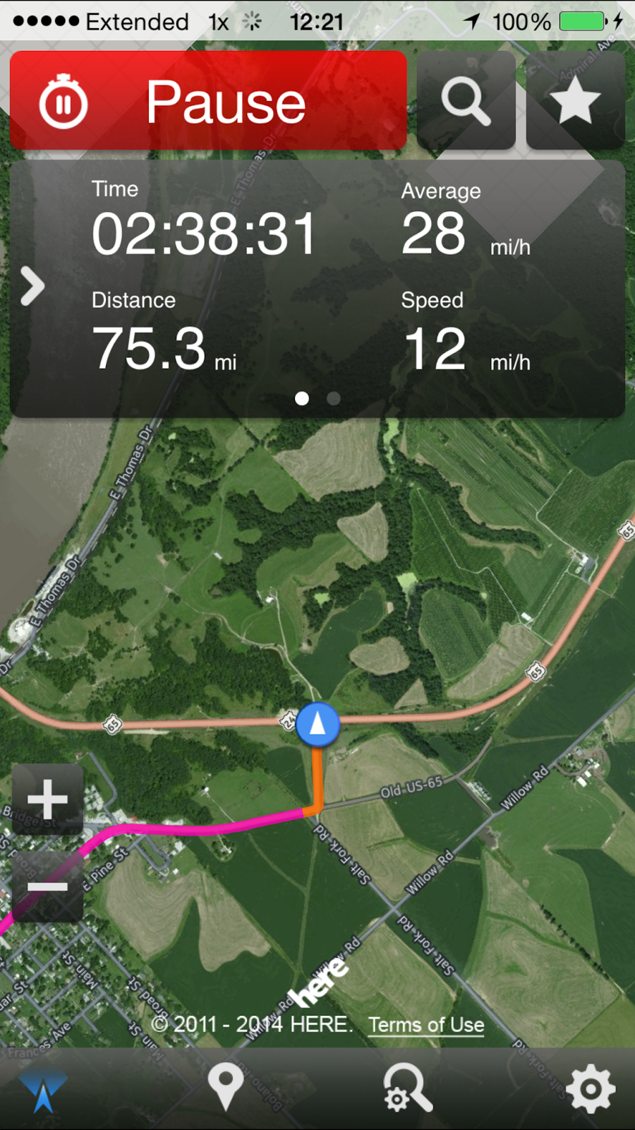
After an unsuccessful attempt to follow along the nothern half of the Jefferson Highway, we had a little vacation time left, so we took an overnight trip from Kansas City, Missouri to Columbia, Missouri along the National Old Trails Road. I say along as I didn't have a good map plotted down to follow. A facebook friend of mine, James Martin, has been posting a lot of material on the NOTR, however, I misplaced my copy of his map, which for now, is the only thing I have to go by. However, I remembered approximately where the route ran into Columbia, and was not too bothered by the need to be a purist and stay on the route, as it was more of the sites along the way we wanted to spend time with....
I, My wife, Suyen, our dog, Stella and our Roadtrek camper van we call Melba, loaded up and took off east. Our first stop, was cawfeee, of course at one of our favorite coffeehouses.


I, My wife, Suyen, our dog, Stella and our Roadtrek camper van we call Melba, loaded up and took off east. Our first stop, was cawfeee, of course at one of our favorite coffeehouses.
Sunday 19 April 2015
Vacation From Our Vacation
Traveling the NOTR in Western Missouri
Code Yellow


 19 Sunday / April 2015 05:23 PM Columbia
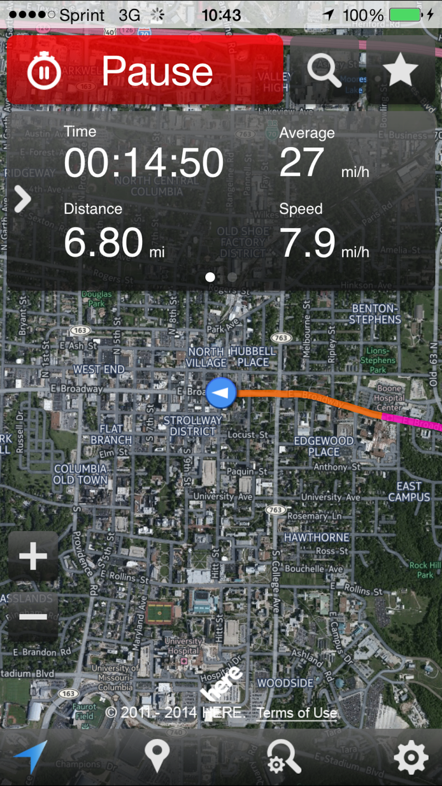
geo:38.9515595,-92.325161,-9999.0 http://maps.google.com/maps?q=38.9515595,-92.325161
1106 E Broadway, Columbia, MO 65201, USA (38.951310, -92.325043)
19 Sunday / April 2015 08:45 PM Camping
geo:39.00633497,-92.30034653,-9999.0 http://maps.google.com/maps?q=39.00633497,-92.30034653
5170 N Oakland Gravel Rd, Columbia, MO 65202, USA (39.006802, -92.300819)
Traveling the NOTR in Western Missouri
Code Yellow
19 Sunday / April 2015 10:06 AM Cawfee
geo:39.22358541,-94.57675121,-9999.0 http://maps.google.com/maps?q=39.22358541,-94.57675121 7157-7199 North Oak Trafficway, Gladstone, MO 64118, USA (39.224401, -94.575796) I love the view from 169/Broadway coming from the north into the city -- plains, trains and automobiles... and the Missouri River. 
Broadway Bridge, KCMO

Downtown KCMO at Broadway and 7th...
 
8th and Broadway, KCMO
  
Turning onto Truman Road we are finally on the actual National Old Trails Road. It is named after President Harry S. Truman, who lived along the route in Independence, and served as the president of the association.

The NOTR intersects the Jefferson Highway at the Paseo boulevard in KCMO.
  
Blue Summit is an unincorporated area between Kansas City to the West and Independence, Missouri to the east. In many ways it is sort of a lawless no mans land. Independence is a very conservative town that is influenced heavily by the Community of Christ church. There are no adult book stores to be found in the city limits of Independence. However, on the outskirts.... I love this arched bridge, which seems to act as a gateway to Independence. Blue Ridge Parkway passes over the top of Truman Road.
   
Close to downtown Independence, Truman Road (NOTR) passes the Truman House where President Truman and his wife lived until they passed away.
 
Downtown Independence, Missouri and the Independence square...
   
Sunday, April 19, 2015 10:58:57
   Sunday, April 19, 2015 11:02:23 Great Western Motel googie sign on US 24 and MO 291.      Buckner, Missouri  Levasy, Missouri  We took MO 224 north from US 24 at Napoleon, Missouri, which follows the Old trails road, and there is even signage here by the Missouri Byways association that says so for about 15 miles.   Wellington, Missouri    Downtown Wellington, Missouri on MO 224.     This is a very gorgeous drive...  What is left of the Mittieville Peckerwood Club on MO 224. 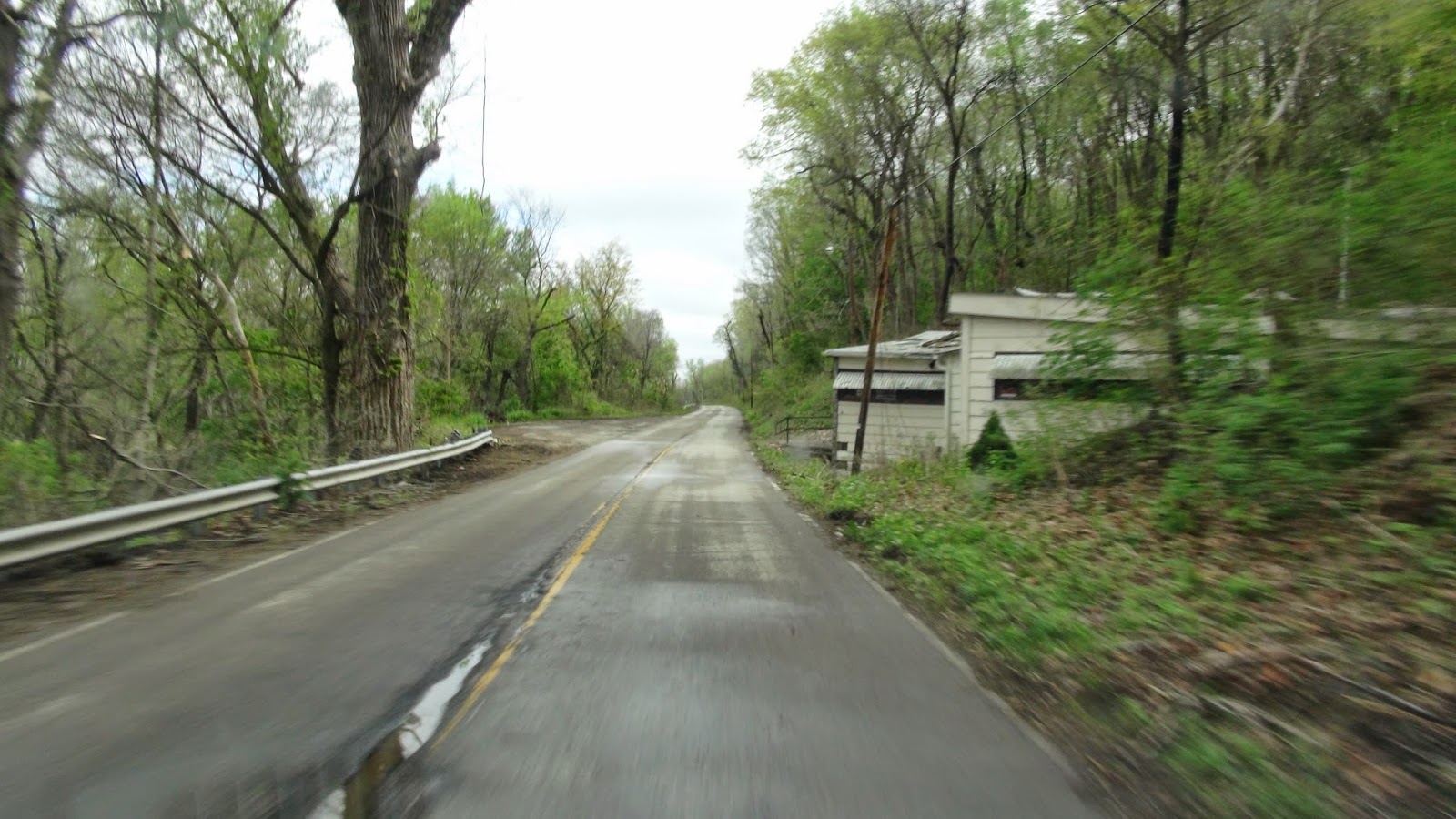 http://www.thelexingtonconnection.com/archives/tlc138/peckerwood.html Sunday, April 19, 2015 11:35:21 Old gas station falling to ruin...  Tracks run along side here. If you are a railfan and decide to take pictures in this area of passing trains, do it quick, as the train crews will call the sheriff, and the sheriff will respond. I was told I needed to get the heck out of there by a high rail crew who pulled up behind me on a past adventure...
Uploaded on Aug 7, 2008
I pace an eastbound coal train through the countryside of rural Lafayette County Missouri before I get the cops called on me by Uncle Petes crew
  The old bridge across the Missouri River crossed here just west of Lexington, MO. It was replaced by a newer bridge.   geo:39.18656115,-93.88606296,-9999.0 http://maps.google.com/maps?q=39.18656115,-93.88606296 Lexington, MO 64067, USA (39.173339, -93.876882) Our first stop is the Modonna of the Trails monument, in Lexington, Missouri.     
I didn't realize this sad marker to US history is in the same spot. Also, there is an interesting Civil War battlefield in town here...
         
A person could spend a day in historic Lexington, Missouri.
  
There is a cannon ball in the one of the columns of the Lafayette county courthouse from the battle of Lexington.
  
I am not sure if this Made Rite drive in is still open. It has lost it's awning in the back.
 
Traveling east from Lexington we found ourselves in apple orchard country...
US 65 crosses the Missouri river at Dover. We passed from US 24 to US 65, which takes us into Marshall, Missouri.
         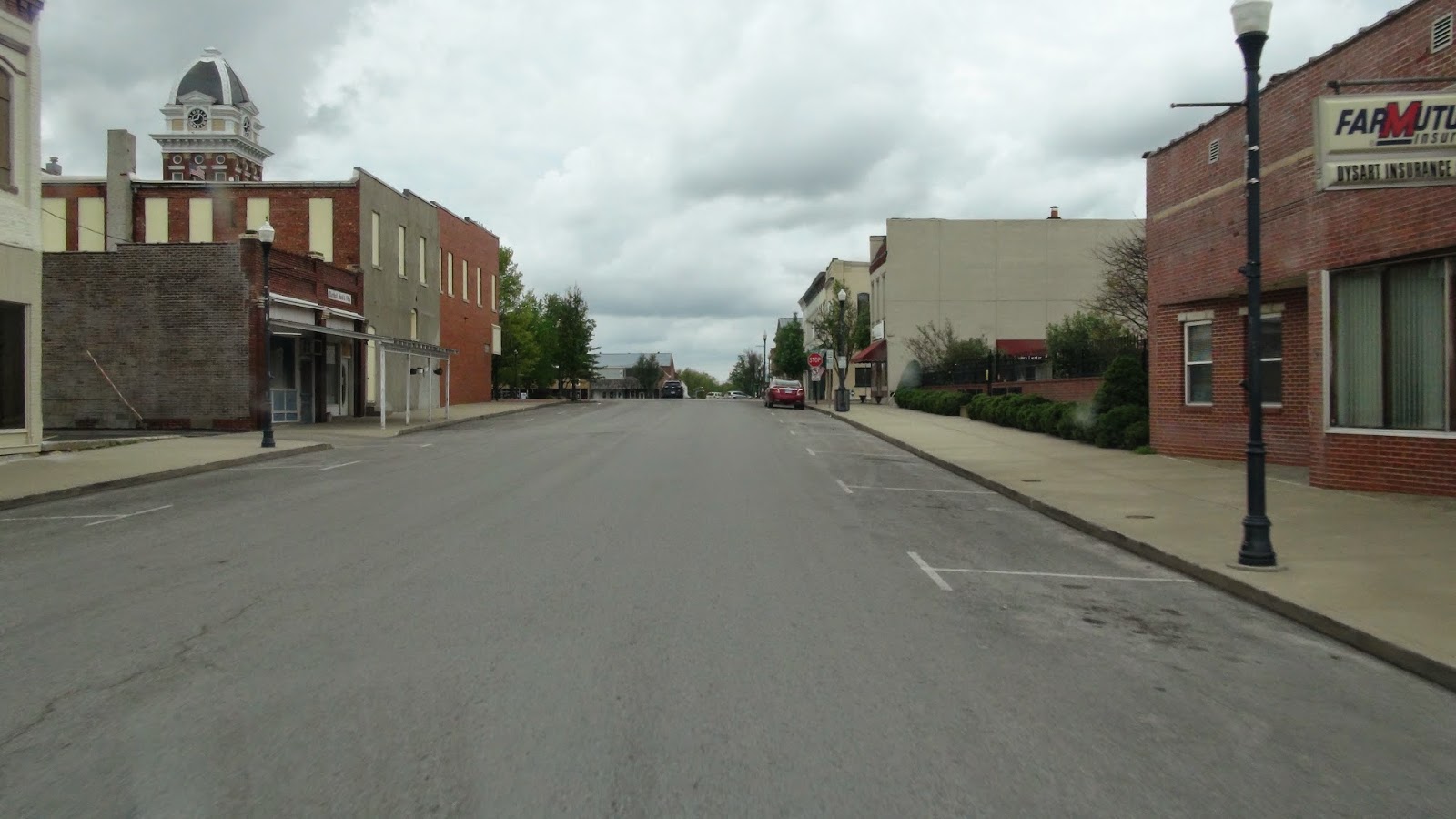
Marshall, Missouri.
          
We paid a visit to Jim the Wonder Dog. Some in our party were more enthusiastic than others...
 geo:39.12170219,-93.19747882,-9999.0 http://maps.google.com/maps?q=39.12170219,-93.19747882 100-168 W North St, Marshall, MO 65340, USA (39.121209, -93.197774)                                                           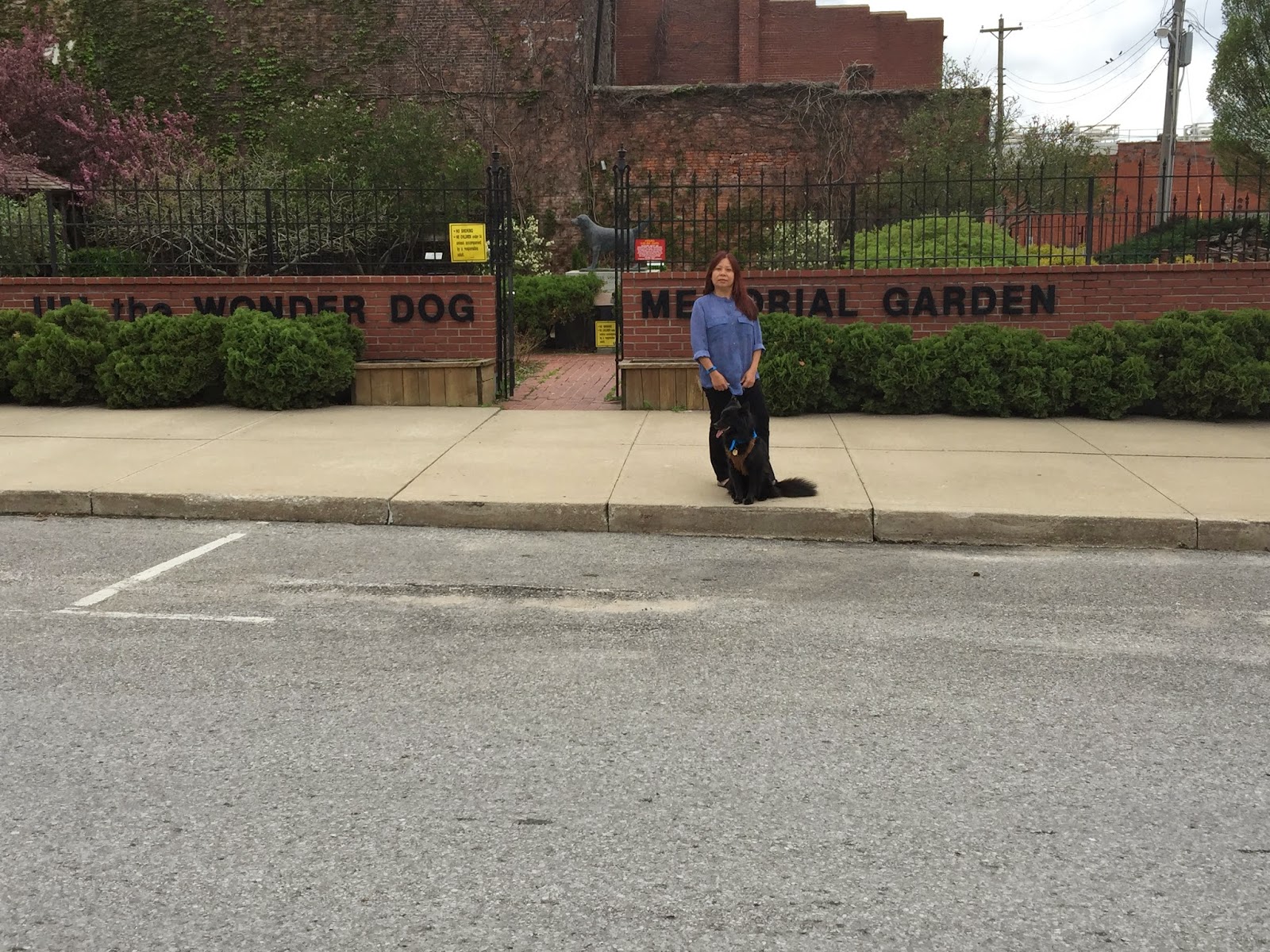              After Marshall, we paid a visit to the historic village of Arrow Rock, Missouri http://www.arrowrock.org/ 19 Sunday / April 2015 01:49 PM Arrow Rock geo:39.06984129,-92.94603269,-9999.0 http://maps.google.com/maps?q=39.06984129,-92.94603269 (39.070055, -92.945825)                 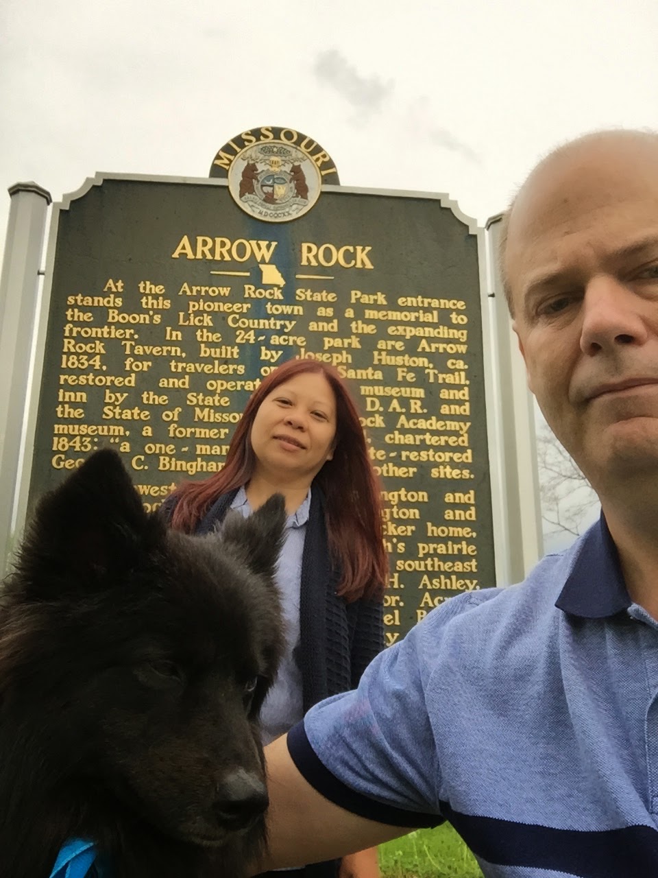                 geo:38.97771754,-92.56106188,-9999.0 http://maps.google.com/maps?q=38.97771754,-92.56106188
103 Missouri-Kansas-Texas Trail, Rocheport, MO 65279, USA (38.977664, -92.561164)
|
We, unfortunately found ourselves on some interstate (I-70), before crossing over the Missouri River at Booneville, Missouri. The Katy trail passes over I-70 southwest of Booneville.
Booneville, Missouri
Old US 40 departs from I-70 north of the Missouri River, and there is some great old roadside architecture as well as some old alignments I never seem to get a chance to explore.
Our next stop is Rocheport, Missouri for a little lunch and a short hike on the Katy Trail.
Old concrete ribbon highway running alongside old US 40 east of Rocheport.
Columbia, Missouri -- Columbia is a college town which is home to the University of Missouri (Tigers) and is also home to two other colleges. It is a nice town to spend a day or two with an active night life scene and many good restaurants as well as access to the Katy trail.
Rain crept in on our fun, but it was no big deal with our camper van.
We found a good campground north of Columbia.
geo:38.9515595,-92.325161,-9999.0 http://maps.google.com/maps?q=38.9515595,-92.325161
1106 E Broadway, Columbia, MO 65201, USA (38.951310, -92.325043)
19 Sunday / April 2015 08:45 PM Camping
geo:39.00633497,-92.30034653,-9999.0 http://maps.google.com/maps?q=39.00633497,-92.30034653
5170 N Oakland Gravel Rd, Columbia, MO 65202, USA (39.006802, -92.300819)
Monday 20 April 2015
Columbia and US 24 back home.
The weather that greeted us was windy and cool. We spent the day in Columbia, then decided to head back via US 63 north to US 24 West to MO 10 and MO 210.
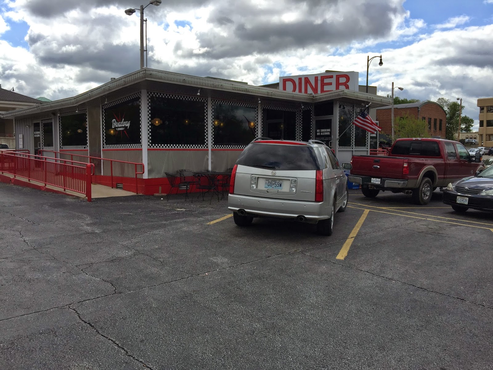
Have to visit the Broadway Diner for breakfast.
We always come to the peace nook...
No pizza for us this trip, sadly. Shakespeare's is the best...
I am always reminded by this place to a reference to it in an Uncle Tupelo song about the "3 hour away town".
Aardvarx is always a great place to visit... love the space age front on the building but changes are a comin' to Columbia...
Ernies Pyramid room is a historic restaurant with a nice streamline moderne front...
I used to come to the Blue Note for shows. It is where I first saw Uncle Tupelo and the Bottlerockets play together...
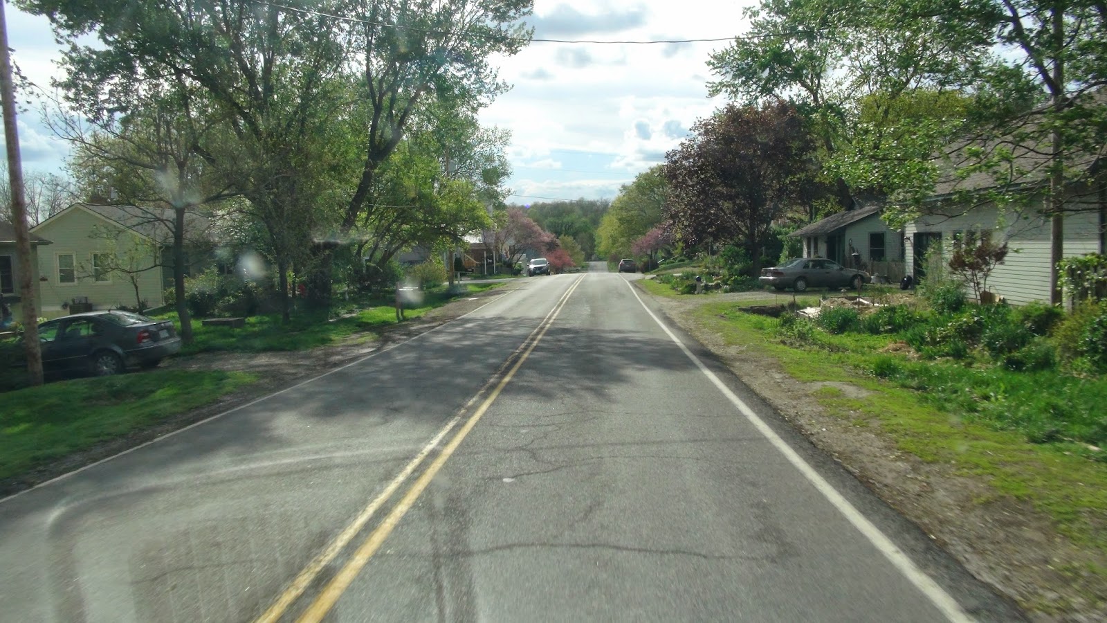
Time came to head back. We chose a different route that avoided the dreaded interstate by far...
We rounded out our trip where we began, at our coffeehouse....